When an architect submits a planning application for a change of use, a listed building consent, or an extension to an existing building, the council needs to understand what is already there. Traditional existing conditions documentation relies on photographs, hand measurements, and drawn surveys. A 360° scan does all three simultaneously — and leaves a navigable, permanent record that drawings and photographs alone cannot replicate.
Quick takeaways
- One scan session produces a navigable 360° record, a point cloud, and measured floor plan data — all usable in a planning submission
- LiDAR point cloud data is accurate to 20mm — suitable for producing existing condition drawings for planning and listed building consent
- No competitor covers planning permission as a virtual tour use case — this is an underserved but high-value application
Where a virtual tour fits in the UK planning system
Every planning application in England and Wales goes to the local planning authority — your district council, borough or city council — and most arrive through the Planning Portal, the national online planning service operated by TerraQuest on behalf of the Ministry of Housing, Communities and Local Government (MHCLG). The application process is the same shape whatever the route: a homeowner's householder application, prior approval under permitted development, change of use, or full planning permission for larger development proposals. The applicant prepares plans and drawings — including a location plan that maps the application site boundary — checks the council's validation requirements, uses the portal to calculate the fee, and completes the online submission. Consultation follows (neighbours may lodge an objection), planning officers in development management determine the application, and if consent is refused there is a route of appeal to the Planning Inspectorate.
A virtual tour is not on any validation list — local authorities exercise discretion over supporting information — but that is exactly why planning professionals use one: it is accessible, interactive evidence that lets a case officer, committee member or consultee navigate the existing building rather than leaf through photographs. For schemes where character, environmental impact or heritage fabric drives the decision-making, it is the most persuasive supporting document an applicant can attach. Guidance and information on planning is at gov.uk and your council's website; tailor what you submit to the scheme — and where the existing building matters, specify a scan early. Local government practice varies across the UK, but digital evidence that improves accessibility and compliance review is increasingly welcomed, particularly on housing applications.
Why existing conditions documentation matters for planning
A planning application for alteration or change of use must show what exists before any works begin. The Design and Access Statement, the Heritage Impact Assessment for listed buildings, and the existing drawings package all need to demonstrate an accurate, honest picture of the current state of the property.
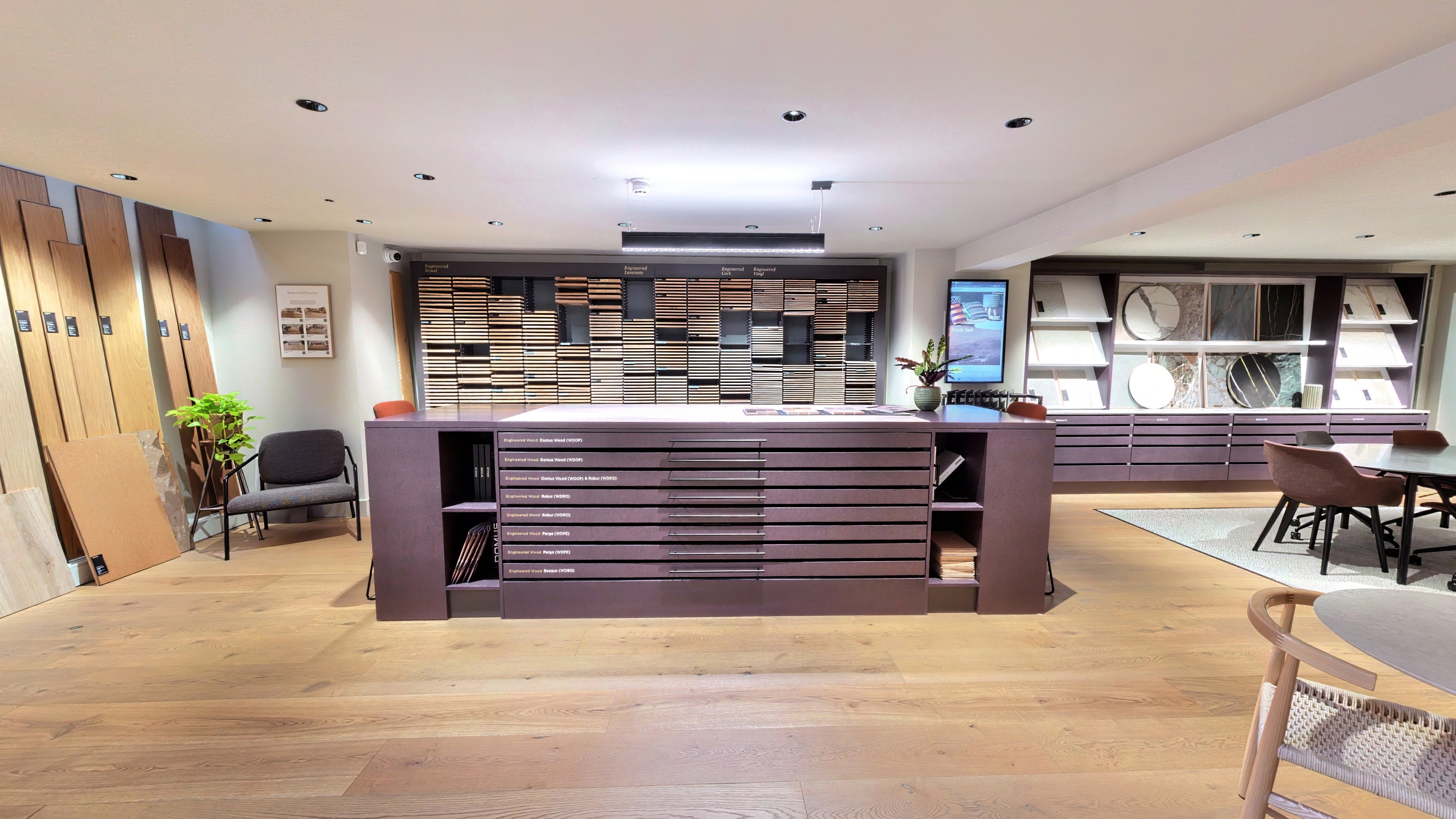
Photography provides a partial record — curated, directional, and dependent on the photographer's choices about what to include. Hand measurement surveys are time-consuming, prone to transcription error, and cannot capture spatial relationships in the round. A 360° scan does what neither can: it records every surface at every point, creates a navigable photographic record that can be shared with any reviewer, and produces millimetre-accurate dimensional data for drawing production.
For planning officers reviewing an application, a virtual tour link in the supporting documents means they can navigate the existing building themselves rather than relying entirely on what the applicant chose to photograph. This is particularly relevant for complex interiors, historic buildings with ornate detailing, or properties where the relationship between rooms is material to the planning case.
What the scan produces for a planning submission
360° virtual tour: a navigable record of the existing building, accessible via a shareable link. This can be referenced in the Design and Access Statement and submitted as supporting digital evidence. Planning officers, inspectors, and conservation officers can navigate it remotely.
LiDAR point cloud: a three-dimensional data set of the building's geometry, accurate to 20mm. This is the source data for producing existing condition drawings — floor plans, elevations, and sections — to the accuracy required for planning and listed building consent submissions.
Measured floor plans: produced from the point cloud data, these replace or supplement traditional hand-measured survey drawings. For architects producing a full existing and proposed drawing package, scan-derived floor plans remove the manual measurement stage and reduce the risk of dimensional discrepancies between existing and proposed drawings.
Listed building consent and heritage applications
Listed building consent applications require the most rigorous existing conditions documentation. Historic England guidance and local authority requirements typically ask for detailed photographic surveys of all affected areas, and for heritage impact assessments to reference the existing fabric explicitly.
A 360° scan creates a permanent visual record of every room, every surface, and every architectural detail before any works begin. This protects the applicant — if questions arise during construction about whether a particular feature was present before works started, the scan provides a timestamped, unambiguous record. It also protects the contractor, who can demonstrate the pre-existing condition of sensitive elements if disputes arise.
For buildings with significant character — decorative plasterwork, period joinery, historical floor surfaces — the 134MP resolution of See3D's scanner captures detail that standard photography misses. Conservation officers reviewing an application can assess the impact on the existing fabric with a degree of precision that photograph sets alone do not allow.
How architects typically use scan data in a submission
- Existing drawings: floor plans, elevations, and sections produced directly from the point cloud data, replacing or verifying hand survey measurements
- Supporting photography: 360° imagery is often more useful than curated photography for demonstrating existing conditions to a planning officer — it shows everything, not just the flattering angles
- Design and Access Statement: reference the tour link alongside existing drawings to give the reviewer navigable access to the building
- Heritage Impact Assessment: for listed building applications, the scan provides the photographic record of existing fabric required by the assessment format
- Pre-commencement condition evidence: councils often require photographic evidence of existing conditions before certain works begin — the scan satisfies this requirement comprehensively
The efficiency case for architects
Traditional existing conditions surveys for planning applications involve a surveyor spending a day on site with a laser measurer and a camera, followed by a separate drawing production process. The scan replaces the measurement phase with a single scanner session and produces data that goes directly into the drawing workflow.
For projects where the existing conditions drawings and the planning application photography would both normally be commissioned separately, a scan session consolidates both into a single visit. The dimensional data and the photographic record come from the same source, on the same day.
See3D works directly with architects and planning consultants on existing conditions documentation. Get in touch to discuss your project — we'll advise on scan scope, data deliverables, and the format that best supports your submission.