The refurbishment was already underway when the contractor discovered the structural beam didn't sit where the existing drawings said it did. The difference was 180mm — small on paper, significant when the new partition wall is already framed. The project stalled while the design team revised. Two weeks of delay, a variation order, and an awkward conversation with the client.
A LiDAR survey of the space before mobilisation would have caught the discrepancy in hours. The drawings would have been accurate. The beam would have been in the right place from day one.
This is the practical value of LiDAR scanning for commercial property: it tells you what's actually there, not what should be there according to drawings that may be decades old or never fully accurate.
Quick takeaways
- The Galois M2 delivers point cloud data accurate to 20mm at a range of 0.2–25m — in a fraction of the time of a traditional measured survey
- Output formats (.las, .e57, .rcp, .dwg, .rvt) are compatible with Autodesk ReCap, Revit, AutoCAD, and Bentley
- LiDAR point cloud and 360° virtual tour are captured simultaneously — one site visit, two deliverables
How LiDAR and 3D laser scanning work
LiDAR stands for Light Detection and Ranging. The laser scanner emits a pulsed laser — hundreds of thousands of points per second — and measures the time each laser beam takes to return after hitting a surface. From millions of those data points, the scanning equipment builds a highly accurate 3D map of the space: a point cloud. Because the measurement is non-contact and non-destructive, using laser pulses rather than touch, it suits fragile interiors and live working environments alike. (Photogrammetry — building 3D data from overlapping photographs — is the other common route to a detailed 3D model; LiDAR wins on geometric accuracy indoors, where surface reflectivity and lighting trip cameras up.)
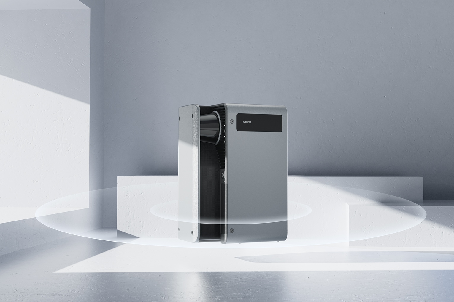
The Realsee Galois M2, which we use at See3D, achieves 20mm accuracy over a range of 0.2–25 metres. That high accuracy means the scan captures the geometry of a space to within 20 millimetres — sufficient for most refurbishment, fit-out, facility management, and as-built verification work. Where engineering tolerances demand more, dedicated terrestrial 3D laser scanners from FARO or Leica Geosystems push accuracy to millimetres — at a different price point and pace of data collection.
The result is a dense dataset of X, Y, Z coordinates that can be processed into virtually any deliverable a surveyor, architect, or engineer needs: floor plans, reflected ceiling plans, cross-sections, elevations, or a full BIM model.
What LiDAR data looks like — and what you can do with it
A point cloud looks like the space rendered in coloured dots — millions of them, each representing a surface the laser hit. Viewed in the right software (Autodesk ReCap, Leica Cyclone, CloudCompare), you can measure any two points, extract cross-sections, and navigate through the building as a 3D model.
From that raw data, the following deliverables can be produced:
- Floor plans and elevations — accurate to survey grade, usable in AutoCAD (.dwg) format
- Revit BIM models — point cloud imported as a reference for as-built modelling
- Reflected ceiling plans — capturing ceiling height, services, and structure
- As-built verification reports — comparing scan data against design intent
Common output file formats: .las, .e57, .rcp (for point cloud data), .dwg (CAD), .rvt (Revit).
The advantage over a traditional measured survey — tape measure, laser distance meter, hand-drawn sketch — is speed and completeness. A traditional survey of a 1,000 sq ft commercial space might take a day and produce 2D drawings with gaps. A LiDAR scan of the same space takes hours and captures everything in three dimensions.
LiDAR vs traditional measured surveys
For small, simple spaces — a single retail unit with straight walls — a traditional measured survey can be sufficient. An experienced surveyor with a laser distance meter will produce usable drawings for a straightforward fit-out.
The case for LiDAR strengthens with scale and complexity. A five-storey commercial building with irregular floor plates, exposed structure, and services to capture is a different proposition. Doing that accurately with traditional methods requires multiple visits, significant drawing time, and more opportunity for error.
LiDAR captures the full geometry in a single session. Multi-floor buildings, irregularly shaped spaces, structures with complex ceiling profiles — the scanner handles them in the same time it takes to scan a simple unit, because the methodology is the same. The operator moves through the space, the scanner works, the data accumulates.
The output is also proportionally more reliable. Because every surface is measured geometrically rather than by inference, the risk of a beam being in the wrong place — or a wall being 180mm off — is substantially reduced.
When LiDAR scanning makes sense for your project
Not every project needs a LiDAR survey. Here are the use cases where it adds clear value:
Refurbishments and fit-outs — Verify existing conditions before design work begins. Confirm that the as-built dimensions match the drawings you're designing from.
Facilities management — Maintain accurate records of your building stock without commissioning a new survey every time something changes. A point cloud from a single visit gives your FM team a reference for any future work.
Pre-construction due diligence — Developers acquiring commercial property benefit from an accurate survey of what exists before sale completes and design work starts.
Property condition surveys — Document the condition and geometry of a space at a specific point in time — useful for dilapidations, lease events, or insurance purposes.
Historic buildings and complex geometry — Where traditional measurement struggles with irregular profiles, vaulted ceilings, or listed building constraints, LiDAR captures the full three-dimensional reality.
Beyond property: where 3D laser scanning is used across the UK
Commercial property is our focus, but the same 3D scanning methodology runs through a remarkable range of UK industries:
Heritage and archaeology. Listed buildings and heritage sites are scanned for preservation and restoration records — a dimensional snapshot that survives even if the fabric doesn't. At landscape scale, aerial LiDAR from aircraft and drones (including the Environment Agency's open topographical datasets) is a staple of geospatial survey and archaeology, revealing earthworks invisible on the ground.
Engineering and manufacturing. Reverse engineering is the classic industrial use: scan a legacy part or turbine component, rebuild it in 3D CAD, and send it to CNC machining or 3D printing. Automotive and aerospace teams use scan-based inspection reports to verify parts against quality standards, with each design iteration checked against accurate measurements rather than assumptions — early detection of deviation before it becomes a recall.
Construction and facilities. Building information modelling (BIM) workflows, MEP coordination, space planning and digital twin programmes all start from point cloud capture. Across a building's lifecycle, scan data gives project management teams the information quickly enough to support informed decision-making — one cost-effective survey of the survey area instead of repeated site visits to inspect and re-measure.
How much does a LiDAR scanning service cost in the UK?
Like any laser scanning service, price scales with floor area, complexity, and the required level of detail in the deliverable — a point cloud alone costs less than point cloud plus 2D floor plans, elevation drawings, or a full Revit model, and large-scale multi-building work is priced per project. We don't publish a rate card because the honest answer depends on the brief; our pricing guide explains the factors, and a quote takes one email with your floor plan. Capture data once, then reuse it: the same scan supports the fit-out, the FM team, and the next lease event.
LiDAR scanning combined with a 360° virtual tour
One practical advantage of the Realsee Galois M2 is that it captures both LiDAR data and a navigable 360° virtual tour from the same scan session.
That means a single site visit produces two distinct deliverables: the point cloud dataset your engineers and architects need for technical work, and a 360° walkaround tour your client or asset manager can use to navigate the space without returning to site.
For property managers overseeing multiple buildings, remote project teams, or clients reviewing progress on a refurbishment, that combination — accurate survey data and a navigable visual record — is hard to replicate any other way.