What are elevation drawings?
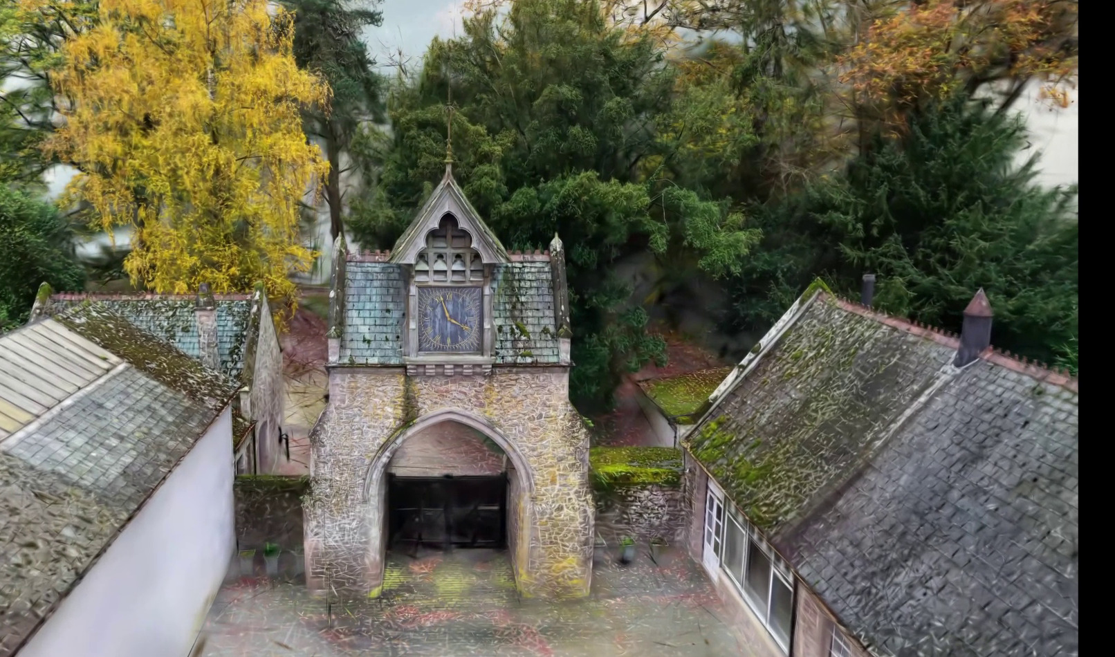
An elevation drawing is a flat, true-to-scale view of a building's face — what you would see standing directly in front of it, with all perspective removed. Technically it's an orthographic projection: every point on the facade is projected straight onto a vertical plane, so dimensions read true at any height. Windows, doors, rooflines, materials and finishes appear exactly where, and exactly as large as, they really are.
A complete set of architectural elevations typically covers each face of the building — conventionally labelled by compass direction (north elevation, south elevation) or by orientation (front, rear, side). For most houses that means four exterior elevations; complex buildings need more.
Interior elevations exist too: flat views of internal walls, used heavily in kitchen, bathroom and joinery design, where wall-by-wall layout of units, finishes and fixtures matters.
Plan vs elevation vs section — what's the difference?
The three core architectural drawings answer three different questions:
- Plan view — looking straight down: the horizontal layout of a floor. Floor plans show room arrangement, wall positions and dimensions in the horizontal plane.
- Elevation view — looking straight at a face: the vertical appearance of the building. Elevations show heights, window and door positions, facade composition, materials and finish.
- Section drawing — looking at a vertical cut through the building: what's inside the fabric. Sections reveal floor-to-floor heights, structure, and the relationship of spaces stacked above each other.
A useful shorthand: plans describe layout, elevations describe appearance, sections describe construction. A planning application or design package generally needs all three, produced consistently from the same measured base — see our measured building survey guide for how the full drawing set fits together.
What types of elevation plans are there?
The variants you'll meet on a UK project:
- Existing elevations — the building as it stands today, measured and drawn
- Proposed elevations — the building as it will look after the works
- Existing and proposed elevations side by side — the standard planning-application format, letting the planning officer see exactly what changes
- Street scene elevations — the building in the context of its neighbours, often requested where street character matters
- Interior elevations — internal wall views for fit-out and joinery design
For planning, accuracy of the existing set matters more than applicants expect: proposed drawings are judged against them, and discrepancies between drawings and reality are a classic source of delay, objection and invalidated applications — a theme we cover in virtual tours and scans for planning applications.
How are elevation drawings created?
Traditionally: a surveyor with a tape and laser measures what can be reached, photographs the rest, and the elevation is drawn in CAD with a degree of estimation — especially above the first floor, where nothing can be measured by hand safely.
The modern method is 3D laser scanning. A LiDAR scanner captures the entire facade as millions of measured points — a point cloud survey — and the elevation is traced from that data in CAD at whatever scale and detail level the project needs. Heights, window reveals, string courses, chimney positions: all measured, none estimated, including everything above ladder height.
The practical benefits for a London building:
- True heights everywhere — parapets, ridges, dormers and chimneys measured to a few millimetres without access equipment
- Detail on demand — from clean planning-scale line drawings to fine heritage detail (cornicing, rustication, joinery profiles) for listed buildings
- Consistency — plans, elevations and sections all derive from the same point cloud, so they agree with each other by construction
- A visual record behind the drawing — our scanner pairs the LiDAR with 134-megapixel panoramic imagery, so anyone checking a detail looks at the facade itself, not a site note
- No CAD software needed on your side — deliverables issue as scaled PDF and DWG; the 3D data is there if your team wants it
Can you create elevation drawings without CAD? For a planning application, realistically no — local authorities expect scaled, professional drawings. What's changed is the measuring: hand-measured elevations are estimates above arm's reach, while scan-derived elevations are measurements all the way up.
How many elevation drawings does a project need?
For a typical house: all four exterior elevations as existing, plus proposed versions of any elevation that changes — most planning portals expect existing and proposed at 1:100 or 1:50. Extensions usually need the affected elevations plus a street scene where the works face the road. Listed building consent generally demands more detail, often at larger scales. Interior elevations are specified per room, where joinery or fit-out design needs them.
The right answer is project-specific — which is why we agree the drawing schedule (which faces, what scale, what detail) before the scan day, so you pay for the drawings your project actually needs.
Need accurate elevations for your project?
We produce laser-scanned elevation drawings across London and the UK — planning-ready, heritage-grade where needed, delivered with plans and sections from a single scan visit in 3–5 working days. Every scan handled personally. Request a tailored quote or explore our survey services.
Planning-ready elevation drawings from laser scans.
Laser-scanned elevation drawings across London and the UK — existing and proposed elevations with true heights everywhere, delivered with plans and sections from a single scan visit in 3–5 working days.
Request a quote →