What is a drone roof survey?
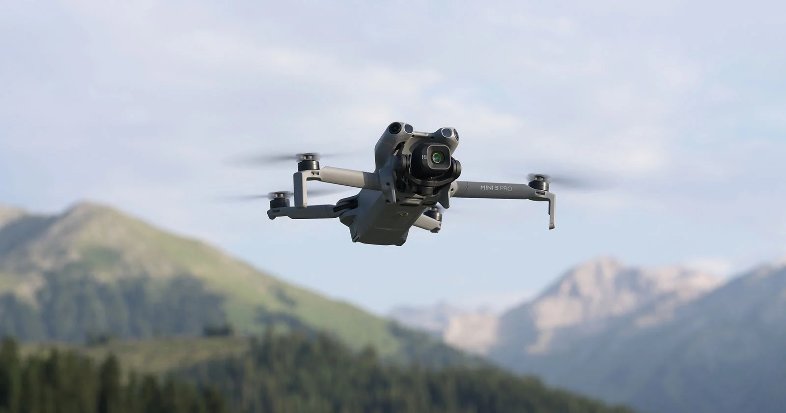
A drone roof survey uses a small unmanned aircraft fitted with a high-resolution camera to inspect and document a roof from the air. The drone pilot flies a planned pattern over the building, capturing detailed photographs and video of every roof slope, ridge, valley, chimney, gutter and flashing — close enough to show individual slipped tiles, cracked flaunching, blocked outlets and failed pointing.
The deliverable is not just "some aerial photos": a competent survey produces a structured, systematic record — orthographic overviews of each roof plane, close-ups of every defect found, and (where commissioned) a written condition report interpreting what the imagery shows. For larger or more technical jobs the same flight can produce a photogrammetric 3D model or measured roof plan.
The contrast with traditional roof surveys is stark. Inspecting a roof properly used to mean one of: a surveyor at the top of a ladder seeing a fraction of the roof; a cherry picker; or scaffold — slow, disruptive and frequently costing more than the repairs. A drone covers the entire roof, including the areas a ladder can never safely reach, in under an hour, with no one working at height. That's why drone roof surveys have moved from novelty to default: drone technology now delivers a more complete, cost-effective record of roof condition than any traditional method short of full scaffold access.
How does a drone roof inspection work?
A typical job runs in five steps:
- Pre-flight checks and planning. The pilot reviews the site for airspace restrictions, obstacles and people. In London this matters — much of the city sits in controlled airspace and flight restriction zones, which is one reason this is professional work rather than a DIY job.
- Permissions. UK commercial drone work operates under Civil Aviation Authority (CAA) rules: the pilot needs the appropriate qualifications (typically an A2 Certificate of Competency or GVC depending on the aircraft and location), an operator ID, and insurance. Flying near uninvolved people or in restricted zones brings extra requirements.
- The flight. The drone flies each roof plane methodically — overview passes first, then close inspection of details: chimneys, flashings, valleys, gutters, rooflights, solar arrays. A domestic roof survey typically takes 20–45 minutes of flying; large commercial roofs take longer.
- Image review and reporting. The high-quality imagery from the drone inspection is reviewed frame by frame; defects are catalogued, located on a roof plan, and assembled into a condition report with recommendations where commissioned. Repeat roof surveys against the same plan turn one-off inspections into a condition history.
- Delivery. High-resolution images, annotated report, and optional extras — video walkover, orthomosaic, 3D model or measured roof plan.
What can a drone roof survey detect?
In practice, the defects that account for most roof failures are exactly the things high-resolution aerial imagery shows well:
- Slipped, cracked or missing tiles and slates — individually identifiable at the resolutions modern drones capture
- Flashing and pointing failures — lead flashings, ridge and verge mortar, chimney flaunching
- Gutter and outlet problems — blockages, standing water, vegetation growth
- Flat roof defects — ponding, membrane blistering and splits on flat roof areas that are otherwise invisible without walk-on access
- Chimney condition — cracked stacks, failed pots, leaning brickwork
- Moss, vegetation and debris — and the drainage problems they cause
- Storm and impact damage — for insurance claims, with a dated photographic record
- Solar panel condition — soiling, cracking, and (with a thermal camera) failed cells
On the thermal point: many providers, ourselves included via partner equipment, can fly thermal imaging to spot wet insulation, heat loss and electrical faults on solar arrays — conditions that look fine in visible light.
What a drone can't do: lift a tile, probe a timber, or inspect inside a void. A drone roof survey is a visual inspection — exceptionally thorough, but where imagery shows suspected structural movement or hidden decay, the report will recommend targeted physical investigation. The honest framing: the drone tells you precisely where the expensive questions are, so any contact inspection is small and focused rather than exploratory.
How much does a drone roof survey cost in the UK?
Drone roof surveys in the UK typically run from around £150–£300 for a standard domestic roof survey with imagery and a basic report, to £300–£600 for larger homes or where a detailed written condition report is included, and from several hundred to low thousands for commercial roof surveys, depending on roof area, complexity and reporting depth. Thermal imaging, 3D models and measured roof plans add to the fee.
The cost drivers are consistent: roof size and complexity, access and airspace constraints (central London flights take more planning than a village bungalow), reporting depth (images only vs full condition report), and extras (thermal, orthomosaic, measured plan).
The comparison that matters isn't drone vs nothing — it's drone vs scaffold. Scaffolding a typical house for inspection access alone routinely costs four figures before a single repair is made. A drone survey delivers a more complete visual record for a fraction of that, which is why "is a drone roof survey worth it?" almost answers itself for any roof that's hard to see from the ground.
When should you commission a drone roof survey?
Drone roof surveys earn their keep wherever certainty about roof condition changes a decision. The common triggers we see:
- Pre-purchase — homeowners, homebuyers and commercial purchasers adding roof certainty to a building survey, since standard home surveys only report what's visible from ground level
- Suspected damage — after storms, for insurance evidence with dated imagery
- Planned maintenance — landlords, schools, churches and estates building maintenance programmes on actual condition rather than guesswork
- Pre- and post-works verification — checking a roofer's quote against reality, then verifying completed work without trusting photos taken from the roofer's phone
- Asset records — a periodic photographic baseline of large or complex roofs, so deterioration is tracked rather than discovered
- Working-at-height avoidance — anywhere the alternative is a ladder, the drone is the safer instrument
Can I fly a drone to inspect my own roof in the UK?
Legally, possibly — practically, usually not worth it. Sub-250 g drones (like the DJI Mini series) can be flown by hobbyists with a flyer ID in many locations, but: much of urban Britain sits in restricted airspace where permissions still apply; flying close to your neighbours' property raises privacy and safety issues; insurance for commercial-quality outcomes doesn't exist on a hobby flight; and an untrained pilot photographing a roof tends to produce pretty pictures rather than a systematic inspection record. For anything that informs a purchase, claim or contract, use an insured, CAA-qualified operator.
Drone roof survey plus interior scan: the complete building record
The reason drone work sits naturally in our portfolio: a roof survey answers the outside question while a LiDAR scan answers the inside one. For building owners assembling a complete record — for as-built drawings, a measured building survey, an O&M manual or a building safety case — pairing the two in one commission produces a single, coherent dataset: millimetre-accurate interior geometry, a 16K navigable visual record, and a complete aerial record of the envelope. One point of contact, one project, every angle of the building documented.
Need a roof survey — or the whole building documented?
We provide drone roof surveys across London and the UK — domestic and commercial roof surveys alike, on their own or paired with interior LiDAR scanning for a complete building record — CAA-compliant, insured, and delivered with imagery you can actually make decisions from, in 3–5 working days. Request a tailored quote or see our services.
See your roof the safe way.
CAA-compliant drone roof surveys across London and the UK — imagery you can make decisions from, in days.
Request a quote →Sources & references
- Civil Aviation Authority. UK drone rules: registration, flyer/operator IDs and operating categories. caa.co.uk